Teaching Geography at Home: Free Resources That Make It Stick
Geography is often the most neglected subject in a homeschool — and one of the most useful. These free resources make it engaging, visual, and genuinely memorable.
Geography is one of the subjects most commonly deprioritized in homeschooling.
This is understandable — it feels less urgent than math and language arts, less rich than history and literature. It can seem like rote memorization of capital cities and country locations.
Done well, geography is none of those things. It is the study of why people are where they are, why cultures developed the way they did, why history unfolded as it did.
Physical geography shapes human history more than almost any other force. Understanding the terrain — the mountains that form natural borders, the rivers that created trade routes, the climate zones that determined what people could grow — unlocks history, economics, politics, and culture in one.
The Best Free Geography Resources
National Geographic Kids. Excellent starting point for younger learners. Country profiles, geography games, interactive maps, and beautiful photography. kids.nationalgeographic.com
Seterra. Free map quiz app and website. Build a daily practice of placing countries, capitals, states, and cities on blank maps. Ten minutes a day produces remarkable retention. seterra.com
CIA World Factbook. For older students, the definitive reference for country-by-country data — population, economy, government, geography, culture. Updated regularly. cia.gov/the-world-factbook
Google Earth. Virtual globe with satellite imagery, street view in many locations, and historical imagery. Use it to visit the places you are studying. Look at terrain, settlement patterns, and how landscapes look from above. Free. earth.google.com
Our World in Data. For older students interested in global patterns. Data visualizations showing how the world has changed across health, poverty, education, conflict, and more. ourworldindata.org
The Habit That Teaches Most
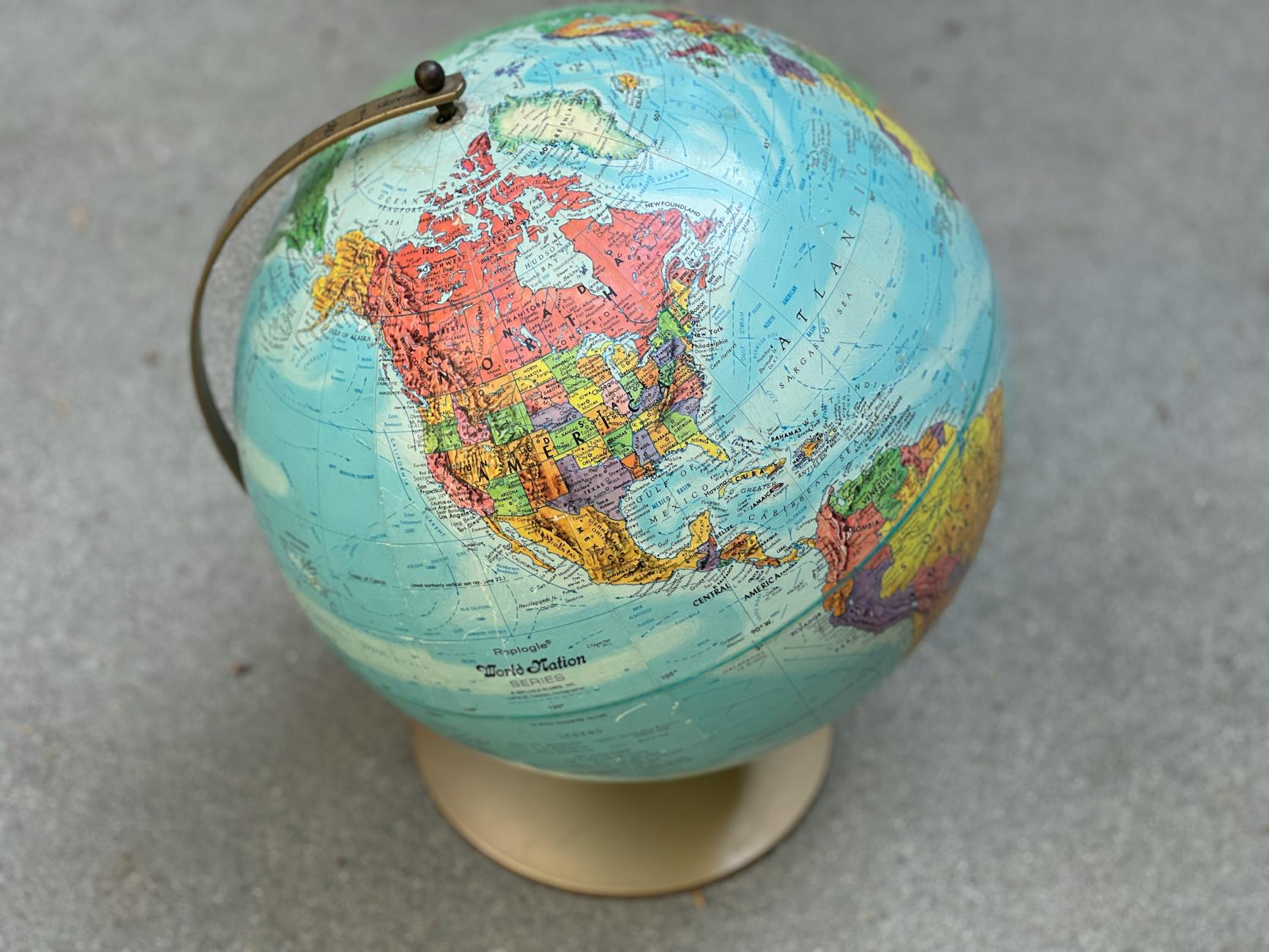
The most effective geography practice requires almost nothing: a world map on the wall and a habit of referencing it.
When something comes up in the news, find it on the map. When you are reading history, find where it happened. When a character in a novel crosses a border, find that border. When a new country comes up in conversation, locate it together.
This habit of geographic orientation — of habitually asking "where?" — builds an internalized map of the world that no amount of formal geography instruction can replicate.
A large, good-quality world map. On the wall. Consulted regularly. That is the geography curriculum.
Mapping Activities
The best geography is done with a pencil in hand.
Give your child a blank outline map and have them draw what they have learned — trade routes, migration patterns, the spread of an empire, the location of key resources. The act of drawing the information onto the map encodes it in a way that reading about it does not.
Blank printable maps are freely available through a quick search or through the resources linked below.
Connecting Geography to Everything Else
The most effective geography instruction happens when it is woven into other subjects rather than taught in isolation.
- History: every historical event has a geographic context. Find it.
- Science: climate zones, biomes, plate tectonics, river systems are geography.
- Literature: where is the story set? What does the landscape mean for the characters?
- Current events: every story in the news has a location. Find it.
Geography is not a separate subject. It is the context that makes every other subject make sense.
Physical Geography: The Part Most People Skip
Country capitals and continent shapes are the surface of geography. Physical geography, the actual terrain of the earth, is the part that explains almost everything else.
Why did ancient civilizations form along river valleys? Because rivers provide fresh water, fertile soil from flooding, and transportation corridors. The Nile. The Tigris and Euphrates. The Indus. The Yellow River. All of early human history makes more sense through this lens.
Why did empires form where they did? Why did certain languages spread and others contract? Why is this country wealthy and this one poor? Why do these two populations have ancient conflict? Physical geography shapes all of it.
Teaching physical geography is not complicated. Spend a session on mountain ranges and how they act as natural barriers between populations. Spend a session on river systems and their role in trade and settlement. Spend a session on climate zones and what people can grow. These sessions do not require a curriculum or a textbook — a good map, Google Earth, and a few good questions will do.
How to Use Seterra Without It Feeling Like Drilling
Seterra is essentially a geography quiz game. When used as a daily drill, it can feel tedious. When used differently, it becomes genuinely useful.
Our approach: pick one map to work on for a week or two. Not fifty maps at once. One region. Central America. West Africa. Southeast Asia.
Do it for five to ten minutes at the start of whatever time you are studying something related to that region. The geography reinforces the history or the current events, and the history and current events give the geography meaning.
When we were spending a few weeks on the Ottoman Empire, we worked on the Middle East map in Seterra at the same time. When we read a book set in West Africa, we worked on the West Africa map. The geography and the content support each other.
Geography Through Food
One of the most effective and most enjoyable geography tools is food.
Every cuisine is a product of geography: what grows in the climate, what animals live in the landscape, what trade routes brought new ingredients, what colonialism imposed or disrupted. Cooking from different cuisines, or even just eating at restaurants that represent different traditions and talking about where the food comes from, is genuine geography education.
This is not a formal lesson. It is a habit. When you eat Thai food, look Thailand up on the map. Talk about where it is, what the terrain is like, what the climate allows to grow. The connection between geography and lived experience is one of the things that makes geography feel real rather than abstract.
What About Geography for High School Transcripts?
Geography is a legitimate high school credit subject. A full year of geography study might include physical geography, human geography, political geography, and regional geography, covering different parts of the world in depth.
For documentation, record what resources were used, what regions were covered, and what projects were completed. A geography notebook that includes maps drawn, regions studied, and current events tracked is strong portfolio evidence of genuine engagement with the subject.
If you want a more structured approach, National Geographic has produced comprehensive geography curricula in the past, and local libraries often have older editions available for free. But the free resources above, combined with the wall map habit and consistent integration with other subjects, produce solid geography education without needing a formal curriculum at all.
Five free resources we use every week includes more of our go-to free tools. And homeschool history resources pairs naturally with geography — understanding where things happened is inseparable from understanding why.
Written by
The High Vibe Homeschool Team
We are a homeschool family that has been doing this for seven years across three kids. We write about what we have actually tried, what failed, what surprised us, and what we would do again. No credentials. Just lived experience.
ENJOYED THIS ARTICLE?
Get more like it every week
Real homeschool life, in your inbox.
Keep Reading
More in Resources
 Resources
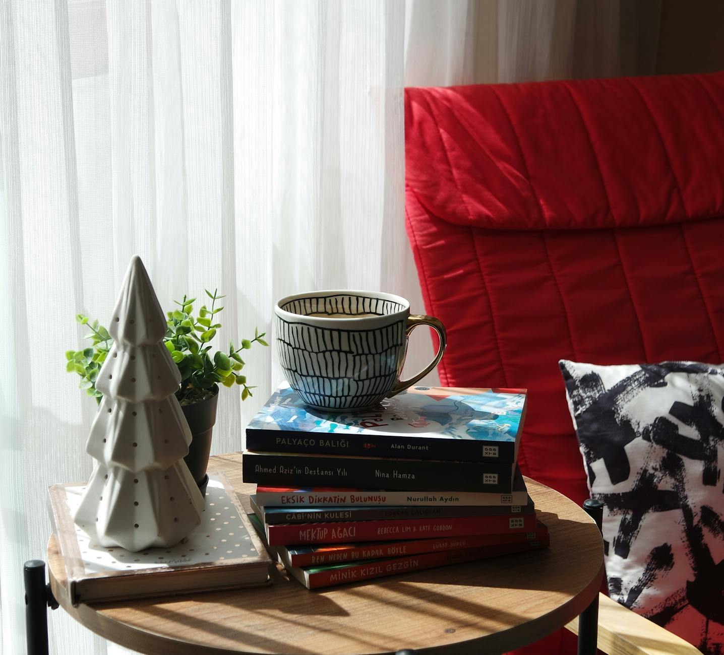
Our Favorite Read-Alouds for Every Age (That the Whole Family Actually Loves)
Read-alouds are the heartbeat of our homeschool day. Here are the books that made our kids beg us to keep reading — sorted by age so you can find your next one fast.
 Resources
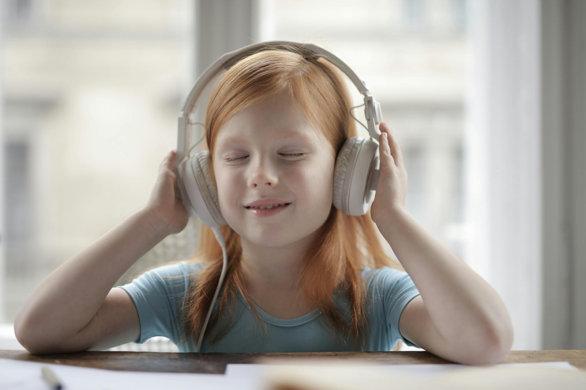
Yes, Audiobooks Count. Here's How We Use Them.
Audiobooks are not a shortcut or a lazy day substitute. In our homeschool, they are a core tool. Here's exactly how we use them and why listening absolutely counts as reading.
 Resources
10 Books Every Homeschool Mom Should Read (At Least Once)
Not books for your children. Books for you. The ones that changed how we think about education, restored our confidence on the hard days, and gave us the words for what we were trying to do.