Teaching Geography at Home (The Way That Actually Makes It Stick)
Geography taught as a list of capitals and rivers produces geography students who forget it all in a year. Geography taught through stories, maps, and real places produces something that lasts.
A little note: Some links in this post are affiliate links. If you click through and buy something, we earn a small commission at no extra cost to you. We only ever link to things we would genuinely recommend to a friend.
My son can tell you where Mali is.
Not because we drilled it. Because we spent two weeks reading about the Mali Empire and Mansa Musa's pilgrimage to Mecca, and at some point during that unit, he found Mali on the map himself because he wanted to know where it was.
That is the difference between geography as a subject and geography as a tool for understanding the world.
The Problem with Traditional Geography Instruction
Most geography curricula are essentially extended memorization exercises. Capital cities, country names, mountain ranges, river names. Students who do this kind of geography well can label a blank map correctly. They often cannot tell you why it matters that Spain is a peninsula, or why rivers were the first major transportation routes, or what it means that most of the world's population lives in a particular set of latitudes.
Geography taught this way is disconnected from everything it should illuminate.
Geography taught well is the foundation of history, economics, culture, and ecology. Where things are is always the beginning of why things are the way they are.
The Approach That Works
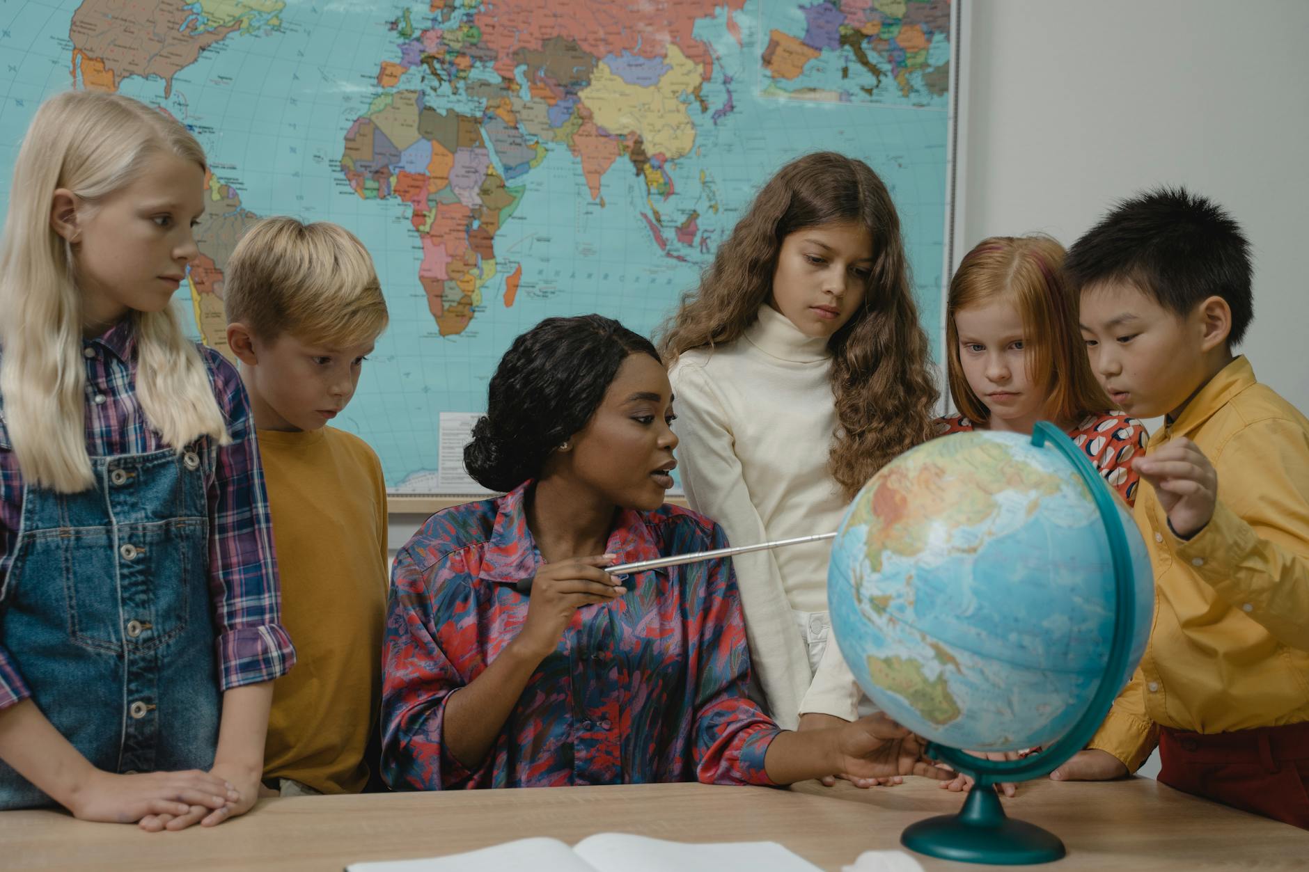
Start with your own place. Children who know the geography immediately around them have a framework for understanding geography elsewhere. What is the nearest river? What direction is north from where you are standing? What is the geography of your state or region, and how did it shape what happened there?
Map every read-aloud. When you read historical fiction or narrative history, find the place on a real map. Where did this happen? What is the terrain like? What bodies of water are nearby? What was the climate? These questions, asked consistently, turn geography into a living part of history rather than a separate subject.
Learn country locations through stories, not flashcards. My children know the countries of West Africa because of our unit on African history. They know the geography of ancient Mesopotamia because we spent time in that region during our ancient history cycle. Story is how geography sticks.
Use physical maps. A printed atlas, a globe, a paper map on the wall. Digital maps are less useful for learning because they remove the child from the physical act of orienting. Touching a map, putting a finger on a country, tracing a river from source to mouth — these build spatial understanding in a way that clicking does not.
Physical Geography vs. Political Geography
Physical geography (terrain, climate, bodies of water, natural resources) and political geography (countries, capitals, borders) are different things.
Physical geography is more fundamental and more durable. The Amazon basin is what it is regardless of which countries contain it this decade. The Sahara is what it is regardless of which countries it crosses.
Political geography changes. Countries form and dissolve. Capitals move. Borders shift. Teaching political geography as if it is fixed fact produces knowledge with a short shelf life.
We teach physical geography first and political geography as a consequence of it. Why is Egypt in the northeast of Africa? Because the Nile is there, and the Nile made agriculture possible in that particular strip of desert.
The One Tool We Use Daily
A world map on the wall, large enough to read clearly, at child height.
Ours has lived in the kitchen for four years. My children consult it in the middle of conversation. They find countries mentioned in books. They trace routes. They argue about distances.
It does not belong to school time. It just lives on the wall. And the incidental learning that comes from it, day after day, has accumulated into genuine geographical knowledge.
Geography and Current Events
Once a week, when something in the news involves a specific location, we find it on the map and spend two minutes understanding where it is.
This practice requires almost no preparation and connects geography to the real world in a way that curriculum exercises cannot replicate. The child who knows where Ukraine is, where the Taiwan Strait is, where the Horn of Africa is, does not know these things because they memorized them. They know them because geography has been made meaningful.
That is the whole goal.
Continent Studies as a Framework
One approach that works well for elementary-age children: spend roughly one year per continent over several years, going deep on each one rather than trying to cover the whole world at once.
A continent study for Africa, for instance, might include: physical geography of the continent (Sahara, Sahel, rainforest, savanna, Great Rift Valley), major river systems (Nile, Congo, Niger), ancient civilizations (Egypt, Kush, Mali, Great Zimbabwe), the colonial period and modern nation-states, contemporary Africa and current events, food, music, and culture.
By the end of that year, your child has genuine geographical knowledge that is anchored in history, culture, and physical reality. They do not need to memorize all fifty-four African countries separately because they have a framework that makes individual countries meaningful.
This is not the only approach, but it is a good one for families who want geography to feel substantial rather than superficial.
Geography Resources Worth Having
For physical geography fundamentals: any edition of the National Geographic Student World Atlas gives children a reference they will actually use.
For US geography: Evan-Moor's Geography materials are workbook-based, which is not our preferred approach, but the content is solid and the exercises are well-designed for the children who benefit from that structure.
For living geography: documentaries. Planet Earth, any of the National Geographic documentary series, David Attenborough's nature series. These build a visual and emotional connection to places that no worksheet can replicate. We watch at least one geography-related documentary per month.
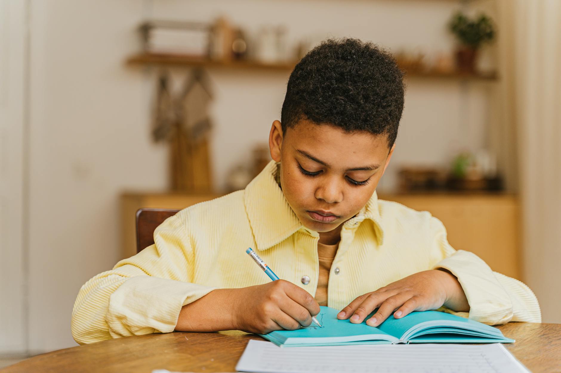
For mapping skills specifically: outline maps and a set of colored pencils. Drawing a map from memory of a continent you have just studied is a more effective assessment than filling in a labeled blank map. The act of constructing the map from what you remember tells you exactly what has and has not stuck.
What About State and Country Capitals
Honestly? They matter less than most geography curricula suggest.
Knowing that Pretoria is the administrative capital of South Africa is far less useful than knowing where South Africa is, what its climate and terrain are, and something about its history. Capitals can be looked up. Spatial understanding and geographical context cannot be easily retrieved from a database.
If your child wants to memorize capitals, great. There are games and apps that make it entertaining. But prioritizing capitals over context is a trade-off that leaves children more confident on quiz shows than genuinely geographically literate.
We know capitals opportunistically, when they come up in the story we are already telling. We do not study them systematically.
Geography connects naturally with history — every historical event has a location, and understanding where things happened deepens understanding of why they happened. Unit studies are a natural vehicle for teaching geography through immersive regional or civilizational study.
Written by
The High Vibe Homeschool Team
We are a homeschool family that has been doing this for seven years across three kids. We write about what we have actually tried, what failed, what surprised us, and what we would do again. No credentials. Just lived experience.
ENJOYED THIS ARTICLE?
Get more like it every week
Real homeschool life, in your inbox.
Keep Reading
More in Curriculum
 Curriculum
Math Games That Make Numbers Come Alive (Even for the Kid Who Hates Math)
My son cried at math worksheets for two years. Then we found games. Here are the ones that changed everything — no flashcards required.
 Curriculum
Living Books: What They Are and How to Find Them
Charlotte Mason's term for books that feel alive. Here's what makes a book 'living,' why it matters, and a list of the ones that have done the most for our homeschool.
 Curriculum
Teaching Writing at Home (When You Don't Feel Like a Writing Teacher)
Writing is the subject most homeschool parents fear most. Here's how we finally made it work — and the approach that produces the most growth for the least friction.